( කාලගුණ විද්යා දෙපාර්තමේන්තුව වෙබ් අඩවියෙන් උපුටා ගන්නා ලදි. )
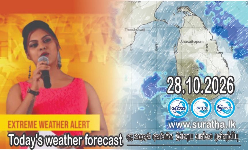
2026 ඔක්තෝබර් මස 28 දිනය සඳහා කාලගුණ අනාවැකිය
2026 ඔක්තෝබර් මස 28 දින උදෑසන 5.30 ට නිකුත් කරන ලදී.
බටහිර-මධ්යම බෙංගාල බොක්ක ආශ්රිතව පැවති “ඔර්නබ්” (Arnab) ඉතා ප්රබල සුළි කුණාටුව මේ වන විට ඉන්දියාවේ ආන්ද්ර ප්රදේශ් වෙරළ තීරය හරහා ගොඩබිමට ඇතුළු වෙමින් පවතී. එහි ප්රතිඵලයක් ලෙස, ශ්රී ලංකාවේ කාලගුණ තත්ත්වය කෙරෙහි එම පද්ධතියෙන් ඇති වන බලපෑම ක්රමයෙන් අඩු වී ඇත.
බස්නාහිර, සබරගමුව පළාත් සහ මහනුවර, නුවරඑලිය, ගාල්ල සහ මාතර දිස්ත්රික්කවල වැසි වාර කිහිපයක් ඇති වේ.
ඌව පළාතෙත්, මඩකලපුව සහ අම්පාර දිස්ත්රික්කවලත් පස්වරු 1.00 න් පසුව ස්ථාන ස්වල්පයක වැසි හෝ ගිගුරුම් සහිත වැසි ඇති විය හැක.
මධ්යම කඳුකරයේ බටහිර බෑවුම් ප්රදේශවලත් උතුරු, උතුරු-මැද සහ වයඹ පළාත්වලත් ත්රිකුණාමලය සහ හම්බන්තොට දිස්ත්රික්කවලත් විටින් විට හමන පැ.කි.මී. (40-50) ක පමණ තද සුළං ඇතිවිය හැක
ගිගුරුම් සහිත වැසි සමග ඇතිවිය හැකි තාවකාලික තද සුළං වලින් සහ අකුණු මඟින් සිදු වන අනතුරු අවම කර ගැනීමට අවශ්ය පියවර ගන්නා ලෙස ජනතාවගෙන් කාරුණිකව ඉල්ලා සිටිනු ලැබේ
WEATHER FORECAST FOR 28 October 2026
Issued at 5.30 a.m. on 28 October 202
The very severe cyclonic storm “Arnab,” which was located over the west-central Bay of Bengal, is currently making landfall over the coast of Andhra Pradesh, India. As a result, the influence of this system on the weather over Sri Lanka has gradually weakened.
Several spells of showers will occur in Western, Sabaragamuwa provinces and in Kandy, Nuwara-Eliya, Galle and Matara districts.
Showers or thunder showers will occur at few places in Uva province and in Batticaloa and Ampara districts after 1.00 p.m.
Strong winds of about (40-50) kmph can be expected at times over Western slopes of the Central hills, Northern, North-central and North-western provinces and in Trincomalee and Hambantota Districts.
The general public is kindly requested to take adequate precautions to minimize damage caused by temporary localized strong winds and lightning during thundershowers.